


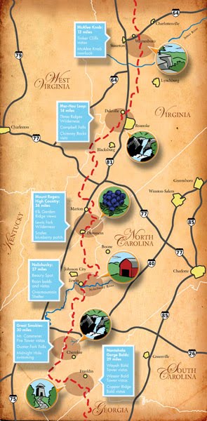

As you can see, I did not one, but two map illustrations for this month's Blue Ridge Outdoors Magazine! In addition to my usual cartoon map, I also did an info map for their cover story on the Appalachian Trail. I'm really happy with how each of them came out, but I'm especially proud of the cartoon map. There were a lot of interesting and fun new features for me to work with this time, like ponies, rhododendrons, and for the first time so far, I got to include a couple of state borders. (I'm easily amused...)
No comments:
Post a Comment